Physical desk · Morning edition · Tuesday, October 27, 2026
Fire heat in Australia's Pilbara iron ore country has reached 29.0 times its monthly norm, and no mine or rail damage has yet been reported there.
Pilbara iron ore fire heat was 18.5 times its 30-day mean on October 27, the largest departure on the board. Canadian oil sands ran at 0.2 times its own mean.
Drawn from the numbers stored with this edition; the same picture is on its share card.
The ground is busy this morning, and the pressure has moved from disasters to fire heat. The UN alert system lists 43 active weather disasters as of 2026-10-25, all minor, so the disaster load is lower than at the last edition. Satellite fire heat near mining regions has roughly doubled since then. Four internet outages are still active in two countries, tied to drone strikes and Guam's typhoon. Nothing here is rated serious or severe by the UN system.
Pilbara iron ore country leads. Satellites show fire heat of 517 megawatts a day over the last three observed days, 29.0 times its own daily mean for the prior 30 days. The last edition had the region's fire reading at 757 and it now stands at 1551, so that count is building. Pilbara is a tracked iron ore mining region, but no headline given reports mine or rail trouble, so this is a heat reading and not supply news. Queensland's coal basins also read high.
Pilbara and Queensland fire heat should persist until something shows it fading. The Iowa Corn Belt is still wetter than normal at the 80th percentile, with the reading dated 2026-10-21. Oil is softer on Iran diplomacy, and fire heat over the Persian Gulf reads below its norm, so no physical reading there bears on crude. Tropical Storm Vance is weakening off Mexico. Shipping readings for the major chokepoints are unconfirmed this edition, so I make no call on them.
Busy, not stretched: fire heat in Pilbara iron ore country is the one severe reading, and no disaster anywhere is rated serious.
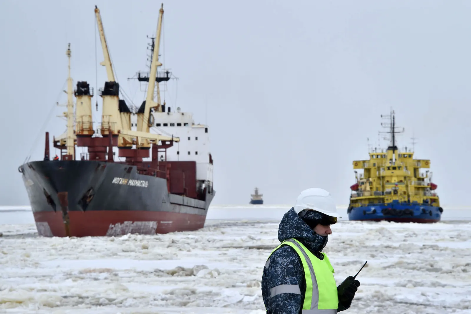 China and Russia Tighten Grip on Arctic Shipping Routes, Challenging Europe
Forest fires in RussiaNormal
China and Russia are tightening their grip on Arctic shipping routes, CNBC Top News reported on October 27, 2026.
Source: CNBC Top News
- Australia's Pilbara iron ore region is rated severe for fire heat: 517 megawatts a day over the last three observed days, 29.0 times its 30-day daily mean. Regional fire heat has roughly doubled since the last edition. No headline reports mine or rail damage.
- Queensland's coal basins are rated high for fire heat: 2,246 megawatts a day, 4.0 times their 30-day mean. The Punjab and Haryana wheat belt reads 338 megawatts a day, 2.6 times normal, short of severe. Seven minor wildfires are listed across Australia.
- Four internet outages remain active in two countries. Cloudflare Radar ties two to military action, including drone strikes on Russian data centers, one to Super Typhoon Champi in Guam, and one to a mechanical fault.
- Iowa Corn Belt rainfall sits at the 80th percentile, 139 mm in 30 days to 2026-10-21, against a 58 mm median.
- Persian Gulf fire heat reads 0.5 times normal while oil softens on Iran diplomacy.
- Tropical Storm Vance off Mexico's Pacific coast is weakening, with 45 mph winds at the latest advisory.
- Rhine at Kaub reads 56 cm at noon on 2026-10-27, low for barge loads.
Iowa 30-day rainfall in mm: a fall means drying, the direction that hurts crops and rivers.
Fire heat near tracked economic regions, in FRP: a rise is the damaging direction.
US winter wheat rated good or excellent, in percent: a fall is the damaging direction, and the last reading dates from July.
Fire heat in Pilbara leads, then Queensland coal basins and the Punjab wheat belt, with wet ground in the Corn Belt and Black Sea.
Select a place to find it on the map.
21 more place(s)
Imagery: Esri. Land outline: Natural Earth. Fire: NASA FIRMS. Rainfall: Open-Meteo. Events: GDACS. Tags and caption are the desk's; places, positions and ratings are not.
The desk voices are written by AI, not by human reporters. Every figure is taken from the listed market, sensor and headline data, and an automated check flags any figure or quoted source that is not.